Ward 18 Boundaries
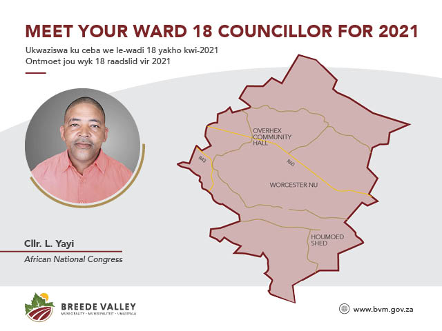
Areas/Boundaries of the Ward
The ward is made up of the following land use zones
The ward is made up of the following land use zones
| << | Jul 2021 | >> | ||||
| M | T | W | T | F | S | S |
| 28 | 29 | 30 | 1 | 2 | 3 | 4 |
| 5 | 6 | 7 | 8 | 9 | 10 | 11 |
| 12 | 13 | 14 | 15 | 16 | 17 | 18 |
| 19 | 20 | 21 | 22 | 23 | 24 | 25 |
| 26 | 27 | 28 | 29 | 30 | 31 | 1 |